Fig. 1
Download original image
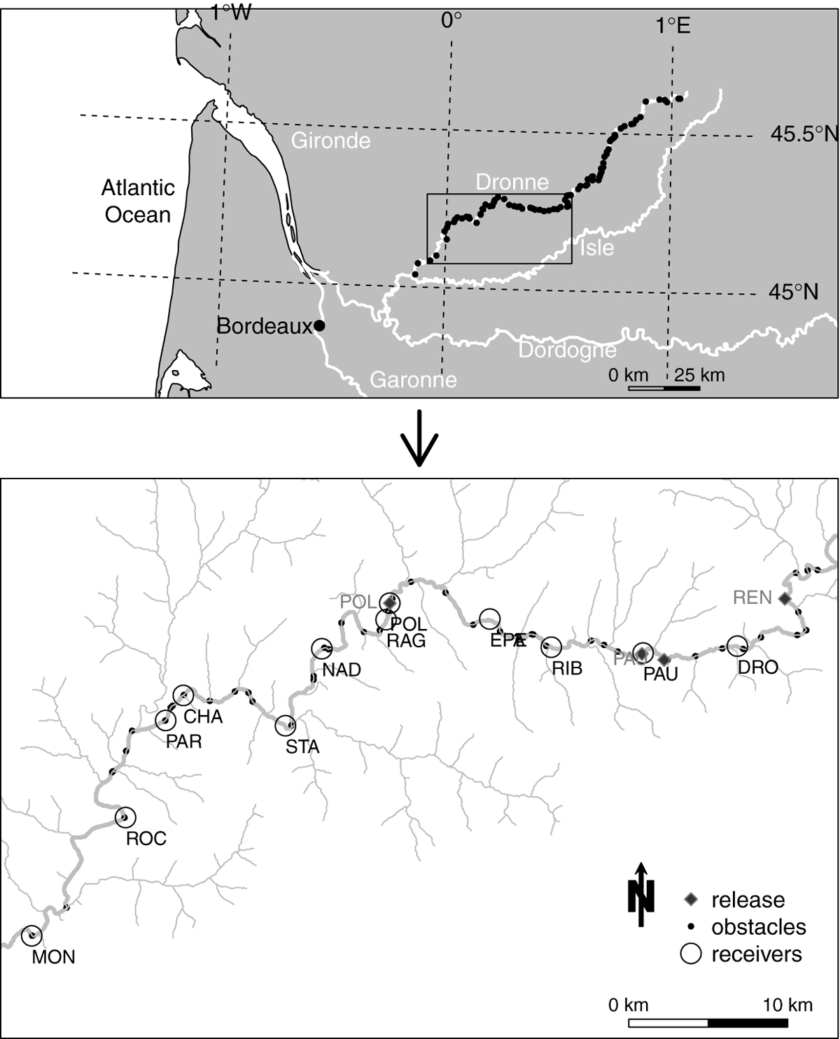
Maps of the Dronne River. Black circles represent obstacles referenced in the French ROE database. White circles represent the fixed radio-telemetry receivers (Table 2). Diamonds represent eels release locations (Table 2). River flow is measured at Bonnes, immediately downstream the radio-telemetry receiver RAG. Physico-chemical parameters were monitored closed to the ATS receivers PAU, NAD and MON. Acronyms refer to towns or sites. REN, Renamon; DRO, Maison de la Dronne; PAU, Moulin de la Pauze; RIB, Ribérac; EPE, Epeluche; POL, Moulin de Poltot; RAG, Ragot; NAD, Nadelin; STA, Saint-Aulaye; CHA, Chamberlanne; PAR, Parcoul; ROC, La Roche-Chalais; MON, Monfourat.
Current usage metrics show cumulative count of Article Views (full-text article views including HTML views, PDF and ePub downloads, according to the available data) and Abstracts Views on Vision4Press platform.
Data correspond to usage on the plateform after 2015. The current usage metrics is available 48-96 hours after online publication and is updated daily on week days.
Initial download of the metrics may take a while.